U.S. States
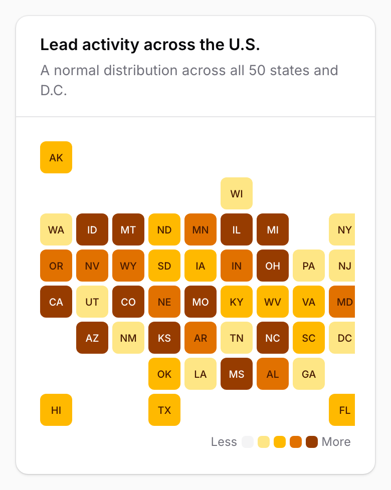
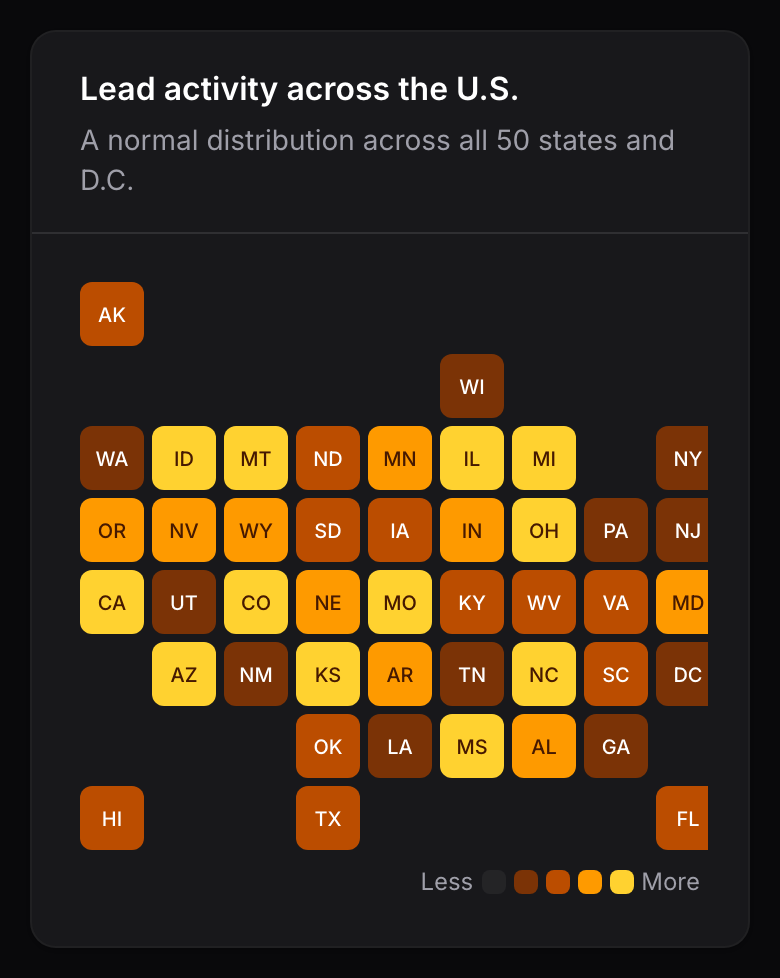
The U.S. States heatmap is a tile heatmap with a built-in layout of the 50 states and Washington, D.C. It is built from values keyed by state:
['CA' => 1284, 'TX' => 894, 'GA' => 542]
Widget
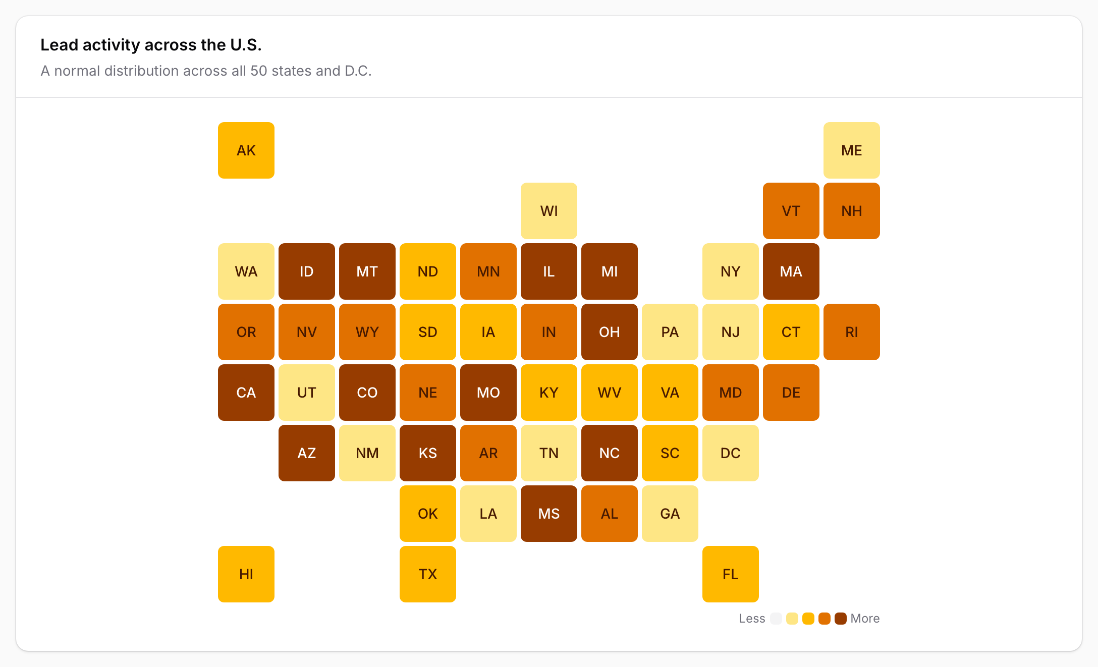
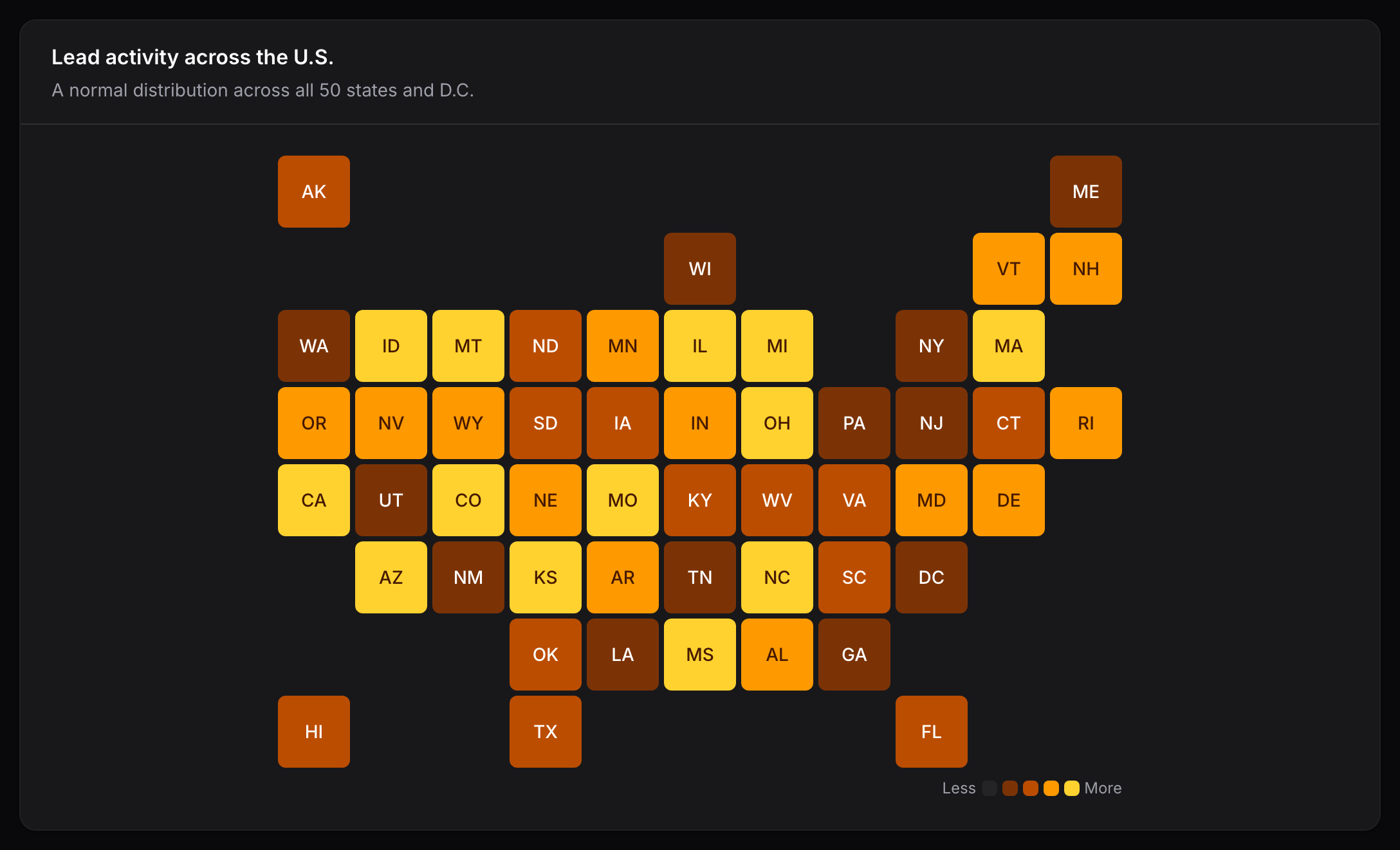
Extend UsStatesHeatmapWidget and return your data. The layout is already provided:
use App\Models\Lead;
use Awcodes\Thermal\Widgets\UsStatesHeatmapWidget;

class LeadActivity extends UsStatesHeatmapWidget
{
    protected ?string $heading = 'Lead activity across the U.S.';

    protected ?string $unit = 'lead';

    protected function getData(): array
    {
        return Lead::query()
            ->selectRaw('state, count(*) as total')
            ->groupBy('state')
            ->pluck('total', 'state')
            ->all();
    }
}
Entry
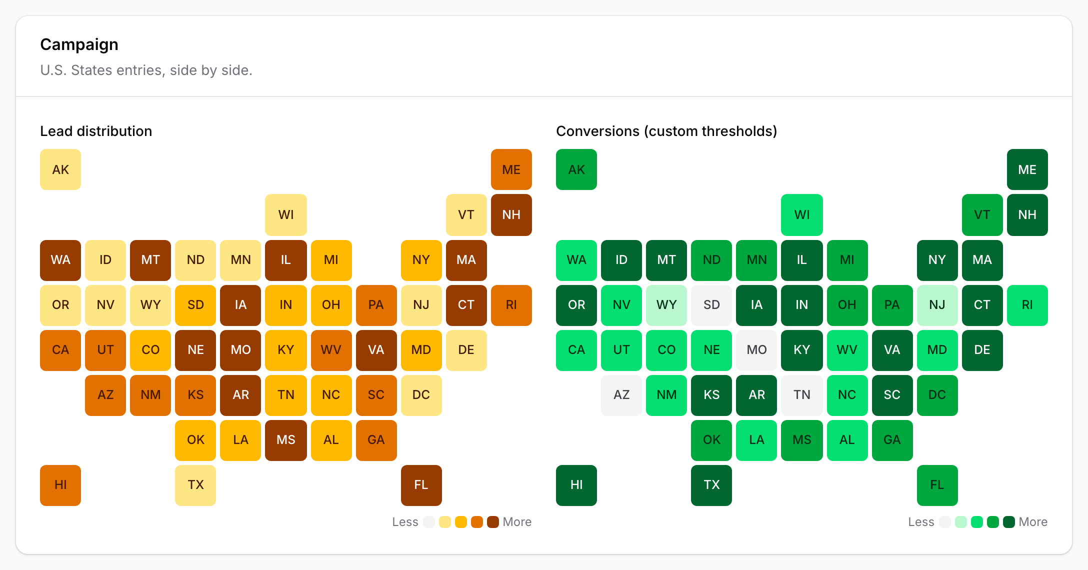
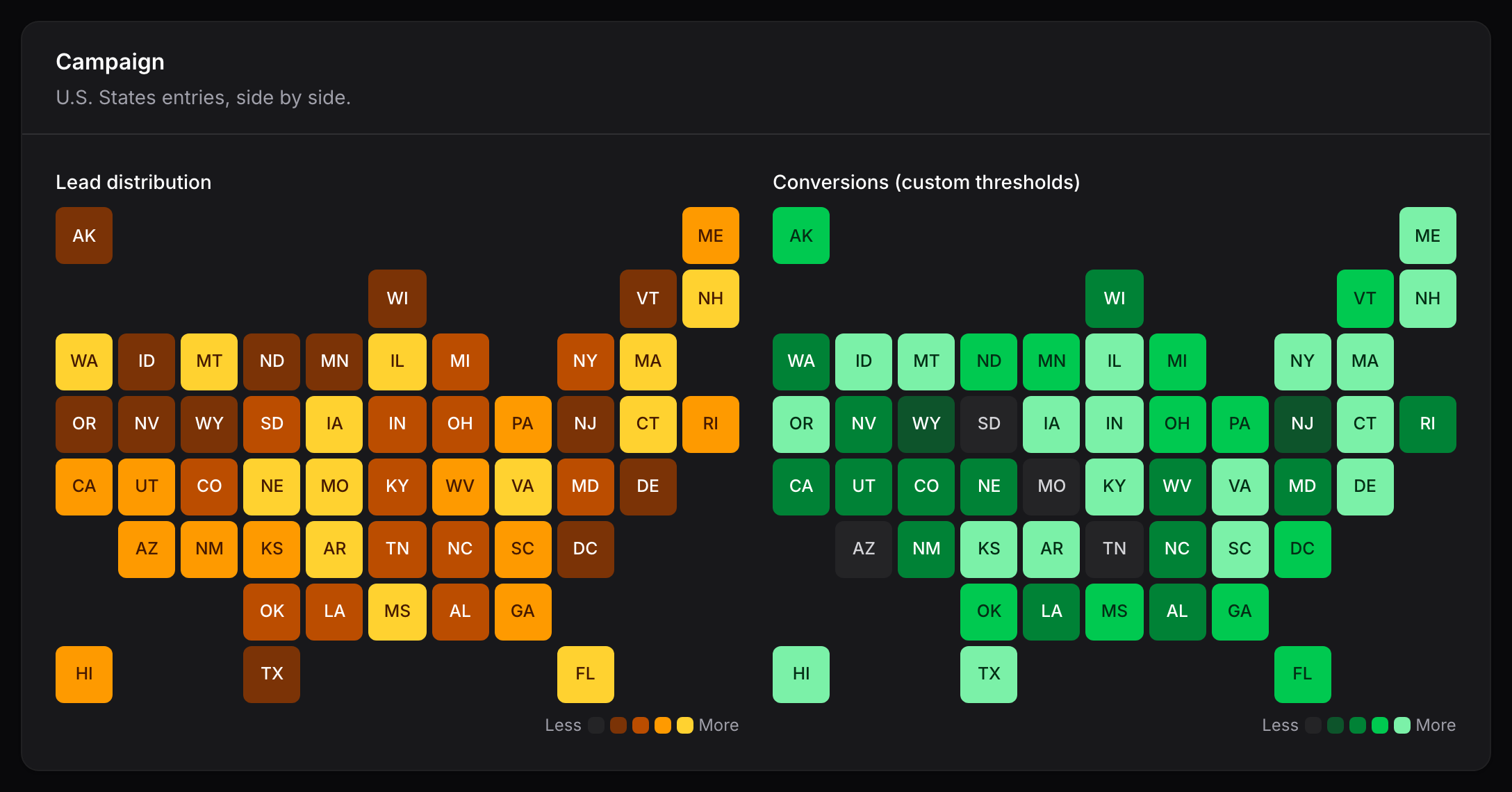
UsStatesHeatmapEntry uses the same layout inside a read-only schema:
use Awcodes\Thermal\Entries\UsStatesHeatmapEntry;

UsStatesHeatmapEntry::make('lead_distribution')
    ->data(fn (Campaign $record): array => $record->leadsByState())
    ->unit('lead');
State keys
Tiles are keyed by USPS abbreviation, such as CA and DC. Data keys are also matched:
- in any case and with surrounding whitespace, so
caandCaboth mean California; - by full name in any case, such as
Californiaornew hampshire; - as
District of ColumbiaorWashington DCfor Washington, D.C.
Values that resolve to the same state are added together. Keys that are not a state or
D.C., including U.S. territories such as PR, are ignored.
Each tile shows the abbreviation, and its tooltip and accessible description use the full
name, such as California — 1,284 leads.
The layout
The states sit on an 11-column, 8-row square tile grid, the widely used tile map convention. Every state keeps its rough neighbors, Alaska and Hawaii sit at the top and bottom of the western edge, and Washington, D.C. sits directly below Maryland.
On a narrow screen the tiles shrink to their minimum size, and the map scrolls sideways inside the widget rather than wrapping:
The layout is available on its own as Awcodes\Thermal\Layouts\UsStatesLayout, for
example to pass to a TileHeatmapEntry or to extend.